Driving in Aruba: Traffic Rules, Signs, and Practical Information (2026)
Renting a car in Aruba gives you flexibility to travel across the island on your own schedule. Driving conditions are generally straightforward and roads are paved between major towns, but local traffic regulations follow Dutch and European standards.
Compare vehicles on the Aruba car rentals page, or start from the getting around Aruba hub if you are still deciding between a rental, taxi, or Arubus.
General driving rules
- Drive on the right: Vehicles travel on the right side of the road with the steering wheel on the left, identical to North America and mainland Europe.
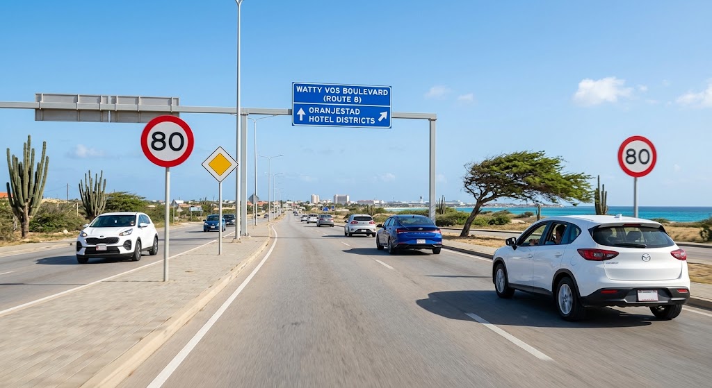
- Keep right, pass on the left: Overtaking on the right is illegal. Slower traffic must stay in the right lane, keeping the left lane clear for passing. This is strictly enforced on multi-lane routes. For example, the Watty Vos Boulevard (Route 8) is a 21-kilometer, four-lane arterial highway that creates a major ring road around the capital city of Oranjestad. Similarly, Sasaki Road (historically Sasakiweg or Route 5) is a major thoroughfare in Aruba that connects parts of Oranjestad toward the northern low-rise hotel and beach districts. In 2019, the road was officially renamed Avenida Nelson Orlando Oduber in honor of Aruba's second prime minister, though it is still widely referred to locally and on maps by its historic Sasaki name.
- No right turns on red: Turning right on a red traffic signal is strictly prohibited across the entire island.
- Speed limits in km/h: All road signs and vehicle speedometers indicate speed in kilometers per hour.
- Seatbelts: Mandatory for all occupants in both front and rear seats.
- Mobile phone use: Using a handheld phone while driving is illegal.
- Driver license requirements: A valid driver's license from your home country is accepted. An International Driving Permit is not required.
Speed limits
- 30 km/h (approx. 18 mph): Residential streets and school zones.
- 50 km/h (approx. 31 mph): Urban and built-up areas, indicated by blue rectangular signs showing a town skyline (bebouwde kom).
- 60 km/h (approx. 37 mph): Rural and secondary roads outside town limits.
- 80 km/h (approx. 50 mph): Main highways, including Route 1 and L.G. Smith Boulevard.
Right-of-way and intersections
- Priority to the right: At intersections without traffic lights, stop signs, or road markings, vehicles approaching from your right have the right of way.
- Left turns: When turning left at an intersection, oncoming traffic traveling straight ahead has the right of way.
- Priority roads (Voorrangsweg): A yellow diamond sign with a white border indicates you have priority over cross streets. A yellow diamond sign with black diagonal stripes indicates the priority road has ended.
Roundabouts
Traffic already inside the roundabout has the right of way. Yield before entering, wait for a clear gap, and indicate with your right turn signal when exiting.
Road conditions and safety
- Wet road traction: Aruba receives limited rainfall, so oil and limestone dust accumulate on paved surfaces. Brief rain showers make roads exceptionally slippery. Reduce speed immediately when driving on wet pavement.
- Speed bumps (Drempels): Raised asphalt speed bumps are common in residential and commercial areas. Many are unpainted, requiring caution to prevent vehicle undercarriage damage.
- Animals: Free-roaming goats and donkeys are common along rural routes and near Arikok National Park.
- Terrain and vehicle selection: Standard sedans and compact cars are suitable for paved roads to Palm Beach, Eagle Beach, Baby Beach, Arashi, and downtown Oranjestad. Reaching Arikok dirt tracks and the Natural Pool (Conchi) requires a four-wheel-drive vehicle. Compare 4x4 options on the car rentals page.
Gas stations and parking
- Full-service fueling: Most gas stations are full-service. An attendant pumps the gas and collects payment at your car window. A tip of 1 to 2 USD or AWG is standard.
- Self-service stations: At self-service locations, pay the cashier inside the booth before fueling.
- Standardized pricing: Fuel prices are regulated by the government and are identical at every station on the island. Fuel is measured and sold in liters (1 US gallon equals approx. 3.785 liters).
- Parking: Parking is free at beaches, supermarkets, and hotel parking lots. Downtown Oranjestad requires paid parking in numbered spaces during standard business hours; purchase a ticket at the nearest street kiosk and display it on your dashboard.
Before you pick up the keys
A sedan is enough for paved roads and the main beach circuit. For Arikok or Conchi, rent a 4x4. If you would rather not drive, use a taxi or Arubus.
Frequently asked questions
Which side of the road do you drive on in Aruba?
Traffic drives on the right side of the road with left-hand drive vehicles.
Can you pass on the right in Aruba?
No. Passing on the right is illegal. You must remain in the right lane and only use the left lane to overtake.
Can you turn right on red in Aruba?
No. Right turns on red lights are not permitted anywhere in Aruba.
Who has the right of way at unmarked intersections?
Vehicles approaching from the right have priority unless signs indicate otherwise.
Related guides
A few more Transportation Tips reads that pair with this page.
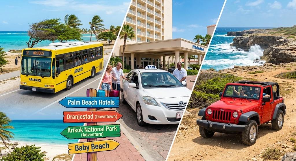
Getting Around Aruba (2026): Buses, Taxis, Car Rentals & Driving
How to get around Aruba: Arubus, official taxis, car and Jeep rentals, and the driving rules you need before you pick up the keys.

Aruba Airport Transfer Guide (2026): Taxi, Bus, Shuttle, Private & VIP Options
How to get from Aruba airport to your resort: compare taxi, Arubus, shared and private transfers, rental cars, and VIP airport services.
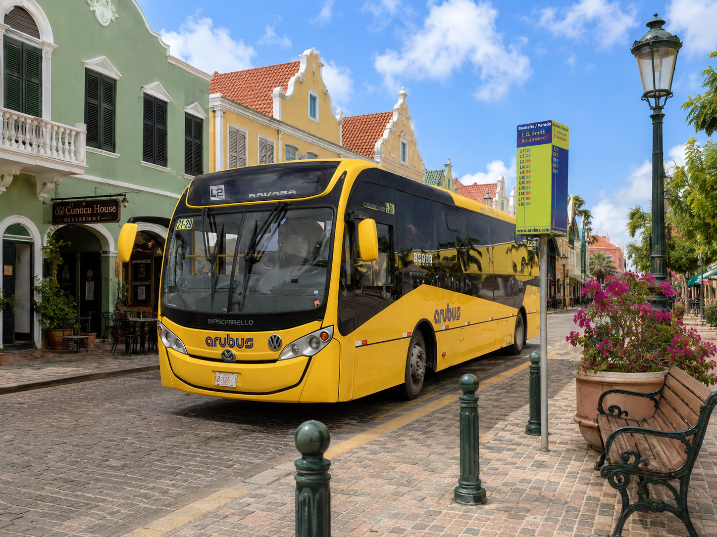
Aruba Public Transportation Guide (Arubus 2026): Routes, Prices, Schedules & No-Car Travel
How to use Arubus in Aruba: L10, L1-L3, L900 routes, fares, Baby Beach transfers, cruise-port steps, and when to choose bus vs rental car.
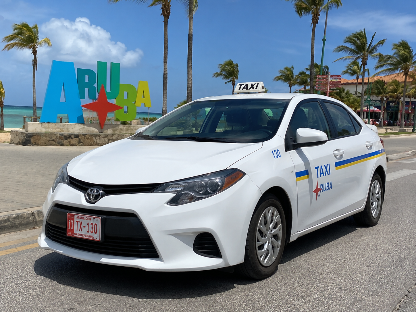
Aruba Taxi Fares 2026 + Fare Calculator (taxi.aw PDF): Official Prices & Rules
Interactive taxi fare calculator from the May 2026 Popular 1 & 2 PDF plus taxi.aw rules, surcharges, TX plates, and DTP contacts.
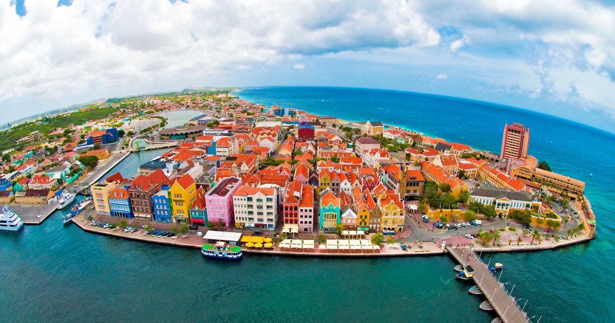
Getting Around Curaçao 2026: Car, Taxi & Public Transport
Do you need a car in Curaçao? Compare rental cars, taxis, public transport and walking, plus how to reach beaches, Westpunt and Willemstad.